July 4, 2024
Saint Vrain Mountain | 12,530 feet
Route: Saint Vrain Mountain Trail
8.95 miles; 3323 feet elevation gain
Total time: 4 hours
I will start by saying I can't believe it took me so long to do this trail, it is absolutely beautiful and such a fun hike. It is a great way to get some solid elevation gain without driving too far. The trailhead is a small lot with some additional parking along the road. I arrived at 5:40am on Fourth of July and was the first one in the parking lot. I then didn't see anyone until around mile 6. When I arrived back at the trailhead around 9:30am, parking was full.
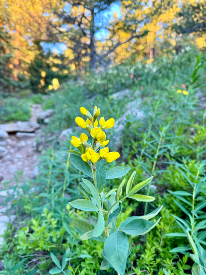
The hike starts in the trees and follows the creek. The trail is well maintained with a lot of exposed roots and rocks. It is very narrow so be prepared to pull off to let people past on your descent. It is currently incredibly green with so many wildflowers! Once you reach the tree line it becomes more rocky. Around 3.5 miles the trail briefly crosses into Rocky Mountain National Park, the park border is clearly marked with poles. If you are hiking with a dog you will need to hike up and around the border. You can hop back on the trail before the final ascent. Up until the final 1/2 mile to the summit it is a relatively moderate incline per mile, the last 1/2 mile is very steep and rocky. There is a faint trail that comes and goes but you can see your end objective. This section also borders RMNP, so if you are hiking with a dog stay to the left of the poles designating the border. The views on the summit are incredible, overlooking Indian Peak Wilderness in one direction and Longs Peak in the other direction.
Other than this hike being incredibly beautiful it also avoids I-70 and 285 which is a huge perk on a summer weekend. I think it will also be beautiful in the fall. Definitely a hike I will repeat, probably many times.
Hike Details:
Trailhead: accessible in most cars, rough dirt road.
Fees & Reservations: none
Bathrooms: none
Trash: none
Dog-friendly: this route is dog friendly but does cross into RMNP, see above for details.
Recent Conditions: see alltrails reviews.
Forecast: mountain-forecast.com (nearest peak).


Comentarios